Planning Commission Recommends Rezoning 17.58 Acres of Designated Parkland for Residential Development — Photo: Tdorante10 — CC BY-SA 4.0, via Wikimedia Commons
Planning Commission Recommends Rezoning 17.58 Acres of Designated Parkland for Residential Development
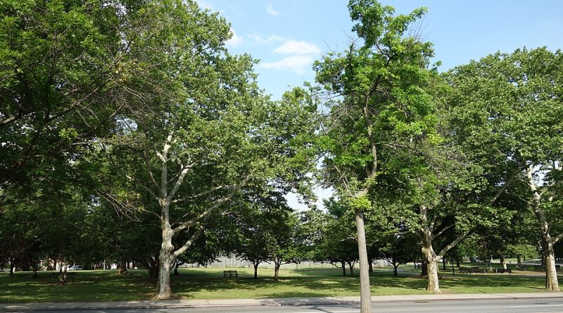
The Fresno Planning Commission on March 6, 2019, recommended City Council approval of Plan Amendment Application No. P18-00579 and Rezone Application No. P18-00579 to convert approximately 17.58 acres on the west side of North Thiele Avenue and north of West Spruce Avenue in Council District 2 from parkland and public facility designations to residential development.
The application, documented in staff report File #ID19-1245, proposed changing the Fresno General Plan and Bullard Community Plan land use designations from Open Space, Regional Park (approximately 14.0 acres), Open Space, Multi-Use (approximately 1.30 acres), and Public Facility, PG&E Substation (approximately 2.28 acres) to Residential, Medium Density for the entire 17.58-acre parcel.
The corresponding zoning change would rezone the property from PR/BL/UGM (Parks and Recreation/Bluff Protection/Urban Growth Management) covering approximately 15.30 acres and PI/BL/UGM (Public Institutional/Bluff Protection/Urban Growth Management) covering approximately 2.28 acres to RS-5/BL/UGM (Residential Single Family, Medium Density/Bluff Protection/Urban Growth Management) for the full site.
The Commission also recommended approval of Vesting Tentative Tract Map No. 6195/BL/UGM and adoption of a Mitigated Negative Declaration for Environmental Assessment No. P18-00579 dated February 19, 2019.
The item was continued from a February 20, 2019, Planning Commission meeting. The material does not document the Commission’s vote tally, dissenting opinions, or whether the matter has since appeared before City Council.
The Breakdown
- The proposal changed approximately 14.0 acres designated as Regional Park and 1.30 acres designated as Multi-Use Open Space to residential zoning, eliminating those parcels’ planned use as public open space.
- The rezone from Parks and Recreation to Residential Single Family, Medium Density zoning allows residential construction on land previously restricted to park use.
- The RS-5 zoning designation permits medium-density single-family residential development, retaining Bluff Protection and Urban Growth Management overlay restrictions.
- The applicant identity, number of planned units, development timeline, and project cost are not stated in the material.
What This Means for You
This Planning Commission recommendation, if approved by City Council, represents a policy choice to eliminate approximately 15.3 acres of land designated for regional park use in favor of residential development. The question for voters weighing Council District 2 representation and citywide Council races is whether converting designated parkland to housing aligns with their priorities for open space, recreational access, and development patterns in their district. The material does not state when or whether City Council acted on this recommendation.
What to Watch
The material identifies no developer, contractor, or property owner behind this application. Standard public records that would answer who profits from converting public parkland designations to residential zoning include the application itself, property ownership records, and any City Council action on this item since March 2019.
The Mitigated Negative Declaration for Environmental Assessment No. P18-00579 is referenced but not included in the material — that document would state what environmental impacts were identified and what mitigation measures, if any, the city required to offset them.
Rezoning 14 acres of designated Regional Park raises the opportunity-cost question directly: why eliminate planned public open space for residential development rather than preserve that land for the recreational and environmental purposes the General Plan and Bullard Community Plan originally assigned it? The material gives no stated rationale for the land-use change, no identification of a public need the rezone serves, and no explanation of what the city or district gains by surrendering parkland designations. Voters considering this decision should know what alternative parcels, if any, were evaluated for the same residential development, and whether the city required the applicant to replace the lost park acreage elsewhere as a condition of approval.
The material also does not state the per-acre or total value of the land being rezoned, nor whether the city received compensation for changing its General Plan designations — records of any land sale, option agreement, or financial arrangement between the applicant and the city would answer whether taxpayers were paid for this conversion or whether the applicant simply gained the zoning change at no cost.